This is a SEO version of Playtimes_1209. Click here to view full version
« Previous Page Table of Contents Next Page »Lam Tin
The area of Lam Tin was once known as Ham Tin Shan. It was settled in the ninth century BC by the Nan Yue people. Ham Tin Shan, which means “salty feld hill”, was part of the Kowloon Bay salt-felds. The British acquired the western half of the salt-felds in 1860 and the eastern half in 1898. Under British rule the salt-felds were destroyed to build Kai Tak Airport. The area was renamed Lam Tin, meaning “produced from the blue felds in jade”, to refect the change in land usage.
North Point
As you would expect, North Point is the most northerly point on Hong Kong Island. In the 1920s, people could alight from the tram at North Point and go swimming in what was then very clear, unpolluted water. By 1941, North Point was home to a power station, a refugee camp built to house Nationalist soldiers ( later used to house Canadian prisoners-of-war during Japanese occupation), a few factories and not much else. In the 1950s North Point became more built up and was known as “Little Shanghai”.
Ngau Tau Kok
Ngau Tau Kok means “ox horn”, which is a reference to the coastline’s shape prior to reclamation of Kowloon Bay. Ngau Tau Kok has a long history of Hakka habitants, a subgroup of the Han Chinese people.
Mong Kok
The name in Chinese means “fourishing/busy corner”. Recent road works uncovered pottery typical of the Jin Dynasty (265-420), which suggests the area may have been inhabited as early as 265 AD. The Guinness World Records once listed Mong Kok as having the highest population density in the world.
Mid-Levels
The name is derived from the fact that the area is located halfway up Victoria Peak, directly above Central. Until the late 1950s, Mid-Levels was a place of winding tree-lined roads with gracious mansions and terraced gardens. The property boom of the 1960s and 70s meant that many old mansions were sold for development. The Central-Mid-Levels escalator was opened to the public in 1994, in order to make the steep incline easier for residents. The escalator is 800 metres long, making it the longest outdoor escalator in the world.
L
N
M
Kennedy Town
Kennedy Town was named after Sir Arthur Kennedy, Governor of Hong Kong from 1872 to 1877. The area was developed during his time in offce as a suburban housing solution for the rapidly expanding population.
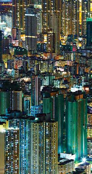
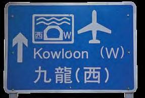
Kowloon City
The name Kowloon is the English pronunciation of “nine dragons” in Cantonese. The name “Nine Dragons” represents the eight mountain peaks on Kowloon that can be seen fromHong Kong island, plus the emperor – the ninth dragon. This particular district contains part of what used to be the infamous Kowloon Walled City, now known as Walled City Park. Kowloon Walled City was China’s tiny enclave in the middle of British Hong Kong, which stood for decades and remained under Chinese control, until it was torn down in 1993. It was used as a makeshift spy centre to check on British infuence in the area. For many years the area surrounding it remained largely undeveloped, used by the British mainly for tiger-hunting expeditions.
Kwun Tong
Located in the eastern part of the Kowloon Peninsula, this area was formerly called Koon Tong. Some say it was named after the Koon Fu salt yards, set up by the government to secure central administration of the salt trade and prevent unauthorised salt trading. Despite the government’s close watch, an illegal salt trade was still active on Lantau Island. When the offcials found out, a full-scale crackdown was initiated. The Lantau villagers instigated an all-out uprising of salt farmers, leading fnally to a major civil riot.
K
September 2012 99
This is a SEO version of Playtimes_1209. Click here to view full version
« Previous Page Table of Contents Next Page »